בס״דMoshe Kohen logoMoshe KohenLicensed Real Estate Salesperson · Orlansky Team | Rodeo Realty Ask Moshe845-422-3447

Rockland Secrets

The stories behind Rockland's names.

Short videos about the history of Rockland County's villages, hamlets and towns, and the real estate rules that come with them. 8 videos so far.

Monsey isn't a town: cover

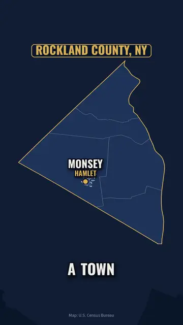
Monsey isn't a town

64 sec · Rockland Secrets

Monsey isn't a town. Neither is New City. 🗺️

Rockland has 5 towns and zero cities.

Villages have their own mayor. Hamlets are run by the town.

Pomona? Split between Ramapo and Haverstraw.

It decides your taxes, your zoning, even who plows your street.

Credits

Map data: U.S. Census Bureau (2023 cartographic boundaries). Music: "Limit 70" by Kevin MacLeod (public domain).

Why Rockland has so many villages: cover

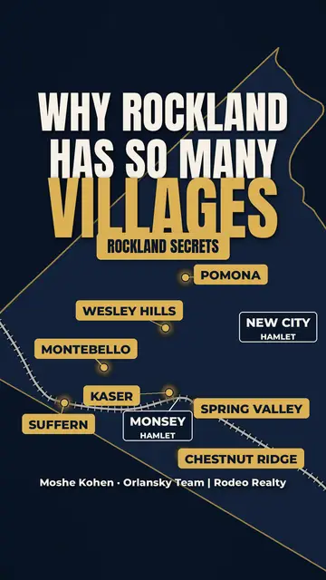
Why Rockland has so many villages

68 sec · Rockland Secrets

Why does Rockland have so many little villages? 🏘️

In the 1840s, Rockland was all farms. Then the Erie Railroad came through Suffern, and New York City was suddenly a train ride away.

Wherever the train stopped, life showed up. Suffern became a village in 1896, Spring Valley in 1902.

Then in 1967, Pomona neighbors said "not here" to apartments on land meant for one-acre homes, and formed their own village to make their own rules.

Wesley Hills, Chestnut Ridge, Montebello and Kaser followed. New City and Monsey never did. They're still hamlets.

Credits

"Americana" by Kevin MacLeod (incompetech.com), CC BY 4.0
Public domain: "American Farm Scenes No. 1" (Fanny Palmer for N. Currier, 1853) & "The Express Train" (Currier & Ives, 1870), Library of Congress; Suffern station (James E. Bailey, c.1910); Spring Valley Erie station postcard (1910). Map: © OpenStreetMap contributors

Spook Rock Road: named after a ghost: cover

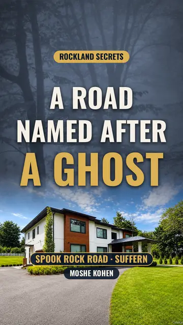
Spook Rock Road: named after a ghost

40 sec · Rockland Secrets

There's a road in Rockland named after a ghost. 👻 Spook Rock Road.

The Dutch settlers called a giant boulder here "spook," Dutch for ghost.

Legend has it a girl was killed at that rock, and her spirit never left.

Others say two forbidden lovers died right beside it. Nobody knows the truth.

Today? Some of the nicest homes in the county are on this road, like 131 Spook Rock. 🏡

Credits

"Danse Macabre" by Kevin MacLeod (incompetech.com), CC BY 4.0

Why the Tappan Zee is 3 miles wide: cover

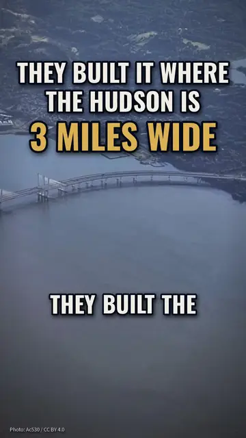
Why the Tappan Zee is 3 miles wide

34 sec · Rockland Secrets

They built the Tappan Zee where the Hudson is 3 miles wide. On purpose. 🌉

In 1950 the Port Authority controlled crossings within about 25 miles of the Statue of Liberty, so the bridge went just past the line, at Nyack.

It opened in 1955. Rockland went from 89,276 people in 1950 to 229,903 by 1970.

Credits

Credits: photos by Ac530 (CC BY 4.0), Nrbelex (CC BY-SA 2.5), Bjoertvedt (CC BY-SA 3.0) and Chester Higgins/NARA (public domain), via Wikimedia Commons. Map data © OpenStreetMap contributors. Music: "Limit 70" by Kevin MacLeod (public domain).

Haverstraw bricks built NYC: cover

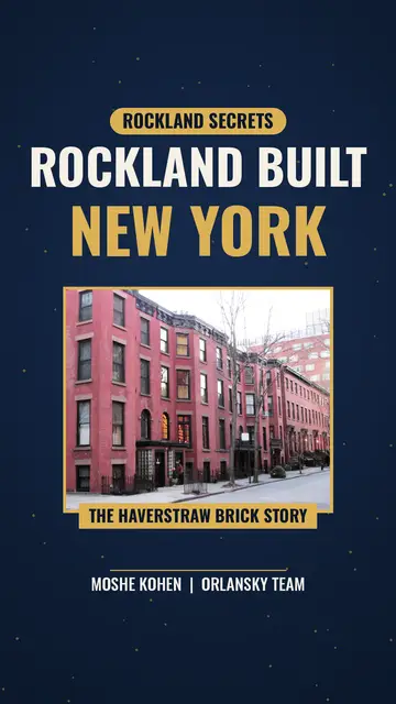
Haverstraw bricks built NYC

32 sec · Rockland Secrets

Rockland helped build New York City. 🧱🗽

A lot of NYC's bricks came from right here in Haverstraw.

Haverstraw had the clay. The Hudson was the road to market.

By the 1880s there were more than 40 brickyards along the river.

Rockland wasn't just where people moved from the city. It helped build it.

Credits

Music: "The Builder" Kevin MacLeod (incompetech.com), Licensed under Creative Commons: By Attribution 4.0 License http://creativecommons.org/licenses/by/4.0/
Photos: Brooklyn Bridge & Lower Manhattan by Jakub Hałun (CC BY 4.0); Orange Street, Brooklyn Heights by Beyond My Ken (CC BY-SA 4.0); Haverstraw Bay Park by Roadgeek Adam (CC BY-SA 2.0); Brooklyn Heights townhouses by Rickbern (CC BY-SA 3.0), all via Wikimedia Commons.
Map: Rockland County with Haverstraw highlighted by Rcsprinter123 (CC BY 3.0, recolored).
Public domain: Haverstraw brickyard stereograph, c.1924 (Keystone View Co., Library of Congress); Haverstraw postcards, c.1906 (Souvenir views of the Hudson River); New York skyline, c.1902 (Irving Underhill, Library of Congress).

Rockland was one town: cover

Rockland was one town

24 sec · Rockland Secrets

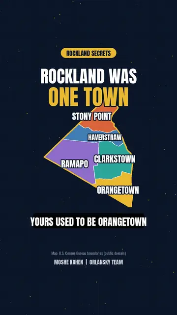
Rockland was one town. 🤯

Orangetown once covered ALL of Rockland.

Haverstraw split off in 1719.

Then Clarkstown, Ramapo and Stony Point came out of Haverstraw.

Now it's 5 towns. 📍

Credits

Music: "Hustle" Kevin MacLeod (incompetech.com), Licensed under Creative Commons: By Attribution 4.0 License http://creativecommons.org/licenses/by/4.0/
Map: town boundaries from the U.S. Census Bureau cartographic boundary files (public domain).

There's no river in Pearl River: cover

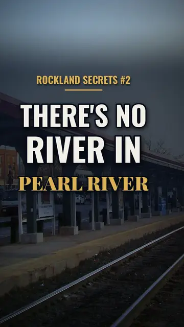
There's no river in Pearl River

36 sec · Rockland Secrets

There's no river in Pearl River. Look it up. 🤔

The biggest stream in town is Muddy Brook, and the whole place used to be called Muddy Creek.

So where'd the name come from? Pearls found in mussels, train schedules, or a businessman's branding. Nobody knows for sure.

Credits

Credits: photo by Daniel Case (CC BY-SA 3.0), via Wikimedia Commons; Pearl River station photo by NHRHS2010, 1915 Erie Railroad postcard, 1893 NJ & NY Railroad timetable, G. F. Kunz pearl illustration and 1924 aero-view (Library of Congress), all public domain. Map data © OpenStreetMap contributors. Music: "Limit 70" by Kevin MacLeod (public domain).

All of Rockland

The smallest county outside NYC: cover

The smallest county outside NYC

18 sec · Rockland Secrets

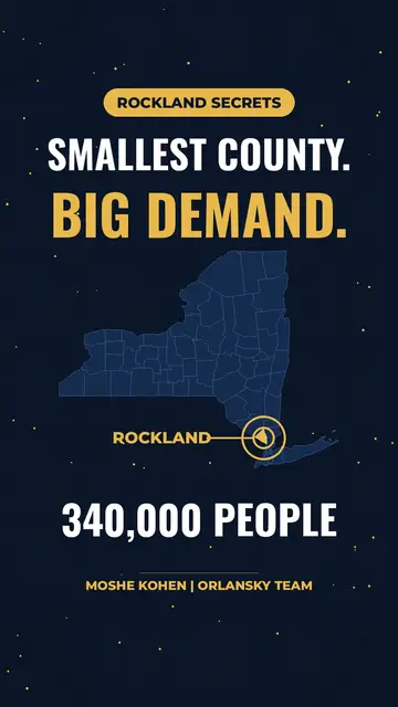
Rockland is the smallest county in New York State outside NYC. 📍

But almost 340,000 people live here.

Small county. Big demand.

That's why homes here go fast. 🏡💨

Credits

Music: "Voxel Revolution" Kevin MacLeod (incompetech.com), Licensed under Creative Commons: By Attribution 4.0 License http://creativecommons.org/licenses/by/4.0/

Thinking of moving?

Talk to Moshe about Rockland.

Ask about any village, hamlet or town: taxes, schools, what homes sell for.